 Enlarge
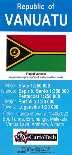
Vanuatu CartoTech
$30.00
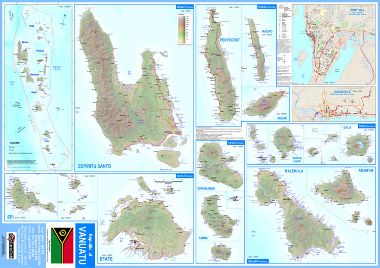
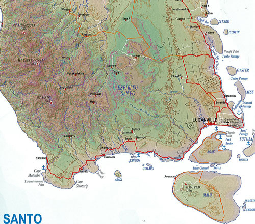
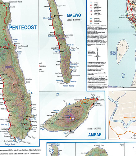
This map of Vanuatu is at varying scales as Vanuatu is comprised of a chain of around 80 volcanic islands stretching across 1300km of the Pacific Ocean.
A 1:2,500,000 inset map displays the whole country, and the provinces. The detailed island maps are mostly 1:400,000 scale, islands of Efate and Pentecost are 1:250,000 and Espiritu Santo 1:350,000. It includes town maps of the capital Pt Vila and Luganville. Towns, villages, tracks and roads are shown on the main maps plus some geological and other features including volcanoes - as Vanuatu has some of the most continuously active volcanoes in the world look for the special "active volcano" symbol.
It is printed on waterproof paper
60cm wide x 85cm drop